METAR-TAF
Airports :
Ithaca Tompkins Regional Airport
Ithaca, New York, United States
latitude: 42-29N, longitude: 076-27W, elevation: 335 m
Current weather observation
The report was made 13 minutes ago, at 07:56 UTC
Calm wind
Temperature 13°C
Humidity 100%
Pressure 1016 hPa
Visibility: 6.4 km
Clear sky
mist
METAR: KITH 310756Z AUTO 00000KT 4SM R32 /4500VP6000FT BR CLR 13/13 A3000 RMK AO2 SLP157 T01330133 PWINO $
Time: 04:09 (08:09 UTC)
Forecast
The report was made 2 hours and 49 minutes ago, at 05:20 UTC
Forecast valid from 31 at 06 UTC to 01 at 06 UTC
Wind kt from the North
Visibility: 6.4 km
Few clouds at a height of 300 ft
mist
Temporary
from 31 at 06 UTC to 31 at 10 UTC
from 31 at 06 UTC to 31 at 10 UTC
Visibility: 2.4 km
Scattered clouds at a height of 300 ft
mist
From 31 at 1100 UTC
Wind 5 kt from the West/Northwest
Visibility: 10 km
Few clouds at a height of 25000 ft
TAF: KITH 310520Z 3106/0106 00000KT 4SM BR FEW003 TEMPO 3106/3110 1 1/2SM BR SCT003 FM311100 30005KT P6SM FEW250
Weather observations and forecasts of more than 4000 airports (METAR and TAF reports).
The available stations are represented by yellow and red dots on the map.
Hover mouse over dot to see the name of the station.
Then click to see weather observations and forecasts.
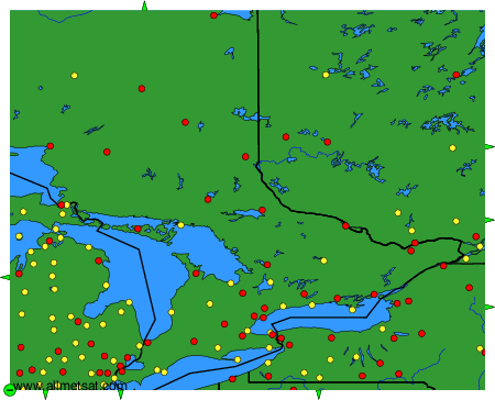
To change the map : click on the green buttons with a black cross to zoom in, on the green button with a dash to zoom out, or on the green arrows for adjacent maps.