METAR-TAF
Airports :
Taitung Airport
Taitung, Taiwan
latitude: 22-45-17N, longitude: 121-06-06E, elevation: 44 m
Current weather observation
The report was made 31 minutes ago, at 10:00 UTC
Wind 4 kt from the East/Southeast
Temperature 29°C
Humidity 74%
Pressure 1007 hPa
Visibility 10 km or more
Few clouds at a height of 2500 ft
Scattered clouds at a height of 5000 ft
Scattered clouds at a height of 5000 ft
METAR: RCFN 081000Z 12004KT 9999 FEW025 SCT050 29/24 Q1007 NOSIG RMK A2975
Time: 18:31 (10:31 UTC)
Forecast
The report was made 5 hours and 31 minutes ago, at 05:00 UTC
Forecast valid from 08 at 06 UTC to 09 at 06 UTC
Wind 5 kt from the South/Southeast
Visibility 10 km or more
Few clouds at a height of 1500 ft
Becoming
from 08 at 10 UTC to 08 at 12 UTC
from 08 at 10 UTC to 08 at 12 UTC
Wind 5 kt from the North
Becoming
from 09 at 00 UTC to 09 at 02 UTC
from 09 at 00 UTC to 09 at 02 UTC
Wind 5 kt from the North
Temporary
from 09 at 02 UTC to 09 at 06 UTC
from 09 at 02 UTC to 09 at 06 UTC
Wind 10 kt from the North/Northeast
TAF: RCFN 080500Z 0806/0906 15005KT 9999 FEW015 BECMG 0810/0812 35005KT BECMG 0900/0902 01005KT TEMPO 0902/0906 03010KT
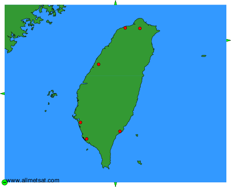
Weather observations and forecasts of more than 4000 airports (METAR and TAF reports).
The available stations are represented by yellow and red dots on the map.
Hover mouse over dot to see the name of the station.
Then click to see weather observations and forecasts.
To change the map : click on the green buttons with a black cross to zoom in, on the green button with a dash to zoom out, or on the green arrows for adjacent maps.