METAR-TAF
Airports :
Taichung International Airport
Taichung, Taiwan
latitude: 24-15-53N, longitude: 120-37-14E, elevation: 663 ft
Current weather observation
Broken clouds at a height of 6000 ft
METAR: RCMQ 021700Z 32005KT 9999 FEW008 BKN060 27/26 Q1010 RMK A2983
Time: 01:31 (17:31 UTC)
Forecast
Broken clouds at a height of 10000 ft
from 02 at 19 UTC to 02 at 23 UTC
Broken clouds at a height of 2000 ft
Broken clouds at a height of 5000 ft
from 03 at 01 UTC to 03 at 04 UTC
from 03 at 06 UTC to 03 at 11 UTC
Few clouds at a height of 1000 ft, Cumulonimbus.
Broken clouds at a height of 5000 ft
from 03 at 12 UTC to 03 at 15 UTC
Scattered clouds at a height of 3000 ft
Broken clouds at a height of 5000 ft
TAF: RCMQ 021700Z 0218/0318 32004KT 9999 FEW008 BKN100 TX34/0305Z TN25/0220Z TEMPO 0219/0223 6000 FEW006 BKN020 BKN050 BECMG 0301/0304 33010KT TEMPO 0306/0311 8000 -RA FEW008 FEW010CB BKN050 BECMG 0312/0315 33004KT FEW010 SCT030 BKN050
Weather observations and forecasts of more than 4000 airports (METAR and TAF reports).
The available stations are represented by yellow and red dots on the map.
Hover mouse over dot to see the name of the station.
Then click to see weather observations and forecasts.
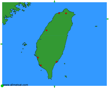
To change the map : click on the green buttons with a black cross to zoom in, on the green button with a dash to zoom out, or on the green arrows for adjacent maps.