METAR-TAF
Airports :
Taoyuan International Airport
Taipei, Taiwan
latitude: 25-05N, longitude: 121-13E, elevation: 33 m
Current weather observation
METAR: RCTP 231230Z 01003KT 9999 FEW020 29/26 Q1004 NOSIG RMK A2966
Time: 21:02 (13:02 UTC)
Forecast
from 23 at 12 UTC to 23 at 14 UTC
from 23 at 15 UTC to 23 at 21 UTC
Broken clouds at a height of 1100 ft
from 23 at 23 UTC to 24 at 01 UTC
from 24 at 03 UTC to 24 at 09 UTC
from 24 at 09 UTC to 24 at 13 UTC
TAF: RCTP 231100Z 2312/2418 21005KT 9999 FEW015 TEMPO 2312/2314 36005KT TEMPO 2315/2321 15005KT SCT007 BKN011 BECMG 2323/2401 24005KT TEMPO 2403/2409 31010KT TEMPO 2409/2413 01005KT
Weather observations and forecasts of more than 4000 airports (METAR and TAF reports).
The available stations are represented by yellow and red dots on the map.
Hover mouse over dot to see the name of the station.
Then click to see weather observations and forecasts.
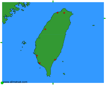
To change the map : click on the green buttons with a black cross to zoom in, on the green button with a dash to zoom out, or on the green arrows for adjacent maps.