METAR-TAF
Airports :
Bujumbura International Airport
Bujumbura, Burundi
latitude: 03-19S, longitude: 029-19E, elevation: 2565 ft
Current weather observation
Few clouds at a height of 3000 ft, Cumulonimbus.
Broken clouds at a height of 10000 ft
METAR: HBBA 091300Z 18012KT 9000 -RA FEW025 FEW030CB BKN100 27/22 Q1011 CB TO N
Time: 20:50 (18:50 UTC)
Forecast
Broken clouds at a height of 9000 ft
from 09 at 19 UTC to 09 at 24 UTC
Few clouds at a height of 2700 ft, Cumulonimbus.
Broken clouds at a height of 10000 ft
from 10 at 02 UTC to 10 at 04 UTC
from 10 at 09 UTC to 10 at 11 UTC
Broken clouds at a height of 9000 ft
TAF: HBBA 091700Z 0918/1024 36004KT FEW025 BKN090 PROB30 TEMPO 0919/0924 TSRA OR SHRA FEW025 FEW027CB BKN100 BECMG 1002/1004 VRB03KT FEW023 BECMG 1009/1011 18008G20KT FEW025 BKN090
Weather observations and forecasts of more than 4000 airports (METAR and TAF reports).
The available stations are represented by yellow and red dots on the map.
Hover mouse over dot to see the name of the station.
Then click to see weather observations and forecasts.
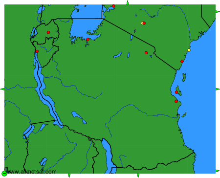
To change the map : click on the green buttons with a black cross to zoom in, on the green button with a dash to zoom out, or on the green arrows for adjacent maps.