METAR-TAF
Airports :
Jomo Kenyatta International Airport
Nairobi, Kenya
latitude: 01-19S, longitude: 036-55E, elevation: 1624 m
Current weather observation
The report was made 25 minutes ago, at 02:30 UTC
Wind 4 kt from the Southwest
Temperature 12°C
Humidity 88%
Pressure 1022 hPa
Visibility 10 km or more
Scattered clouds at a height of 1400 ft
Broken clouds at a height of 8000 ft
Broken clouds at a height of 8000 ft
METAR: HKJK 280230Z 23004KT 9999 SCT014 BKN080 12/10 Q1022 NOSIG
Time: 05:55 (02:55 UTC)
Forecast
The report was made 3 hours and 55 minutes ago, at 23:00 UTC
Forecast valid from 28 at 00 UTC to 29 at 06 UTC
Wind 5 kt from the North/Northeast
Visibility 10 km or more
no clouds below 1500 m and no cumulonimbus
Becoming
from 28 at 05 UTC to 28 at 08 UTC
from 28 at 05 UTC to 28 at 08 UTC
Wind 5 kt from the South/Southeast
Visibility 10 km or more
Broken clouds at a height of 1900 ft
Becoming
from 28 at 13 UTC to 28 at 17 UTC
from 28 at 13 UTC to 28 at 17 UTC
Wind 10 kt from the East
Broken clouds at a height of 2000 ft
Broken clouds at a height of 8000 ft
Broken clouds at a height of 8000 ft
Becoming
from 28 at 20 UTC to 28 at 23 UTC
from 28 at 20 UTC to 28 at 23 UTC
Wind 5 kt from the North/Northeast
Scattered clouds at a height of 1800 ft
Becoming
from 29 at 01 UTC to 29 at 04 UTC
from 29 at 01 UTC to 29 at 04 UTC
TAF: HKJK 272300Z 2800/2906 03005KT 9999 CAVOK BECMG 2805/2808 16005KT 9999 BKN019 BECMG 2813/2817 09010KT BKN020 BKN080 BECMG 2820/2823 03005KT SCT018 BECMG 2901/2904 CAVOK
Weather observations and forecasts of more than 4000 airports (METAR and TAF reports).
The available stations are represented by yellow and red dots on the map.
Hover mouse over dot to see the name of the station.
Then click to see weather observations and forecasts.
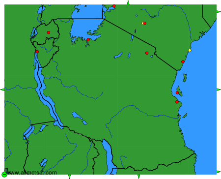
To change the map : click on the green buttons with a black cross to zoom in, on the green button with a dash to zoom out, or on the green arrows for adjacent maps.