METAR-TAF
Airports :
Kisumu International Airport
Kisumu, Kenya
latitude: 00-06S, longitude: 034-45E, elevation: 1157 m
Current weather observation
Scattered clouds at a height of 8000 ft
METAR: HKKI 270630Z 04004KT 9999 FEW020 SCT080 25/15 Q1018
Time: 09:53 (06:53 UTC)
Forecast
from 27 at 08 UTC to 27 at 11 UTC
Scattered clouds at a height of 8000 ft
from 27 at 13 UTC to 27 at 17 UTC
Scattered clouds at a height of 2100 ft
Broken clouds at a height of 8000 ft
from 27 at 20 UTC to 27 at 23 UTC
from 28 at 08 UTC to 28 at 11 UTC
Scattered clouds at a height of 8000 ft
TAF: HKKI 270500Z 2706/2812 06005KT 9999 CAVOK BECMG 2708/2711 22010KT 9999 FEW027 SCT080 TEMPO 2713/2717 -TSRA FEW020CB SCT021 BKN080 BECMG 2720/2723 06005KT NSW CAVOK BECMG 2808/2811 22010KT 9999 FEW027 SCT080
Weather observations and forecasts of more than 4000 airports (METAR and TAF reports).
The available stations are represented by yellow and red dots on the map.
Hover mouse over dot to see the name of the station.
Then click to see weather observations and forecasts.
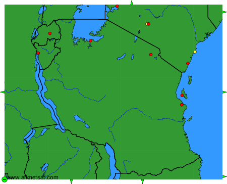
To change the map : click on the green buttons with a black cross to zoom in, on the green button with a dash to zoom out, or on the green arrows for adjacent maps.