METAR-TAF
Airports :
Moi International Airport
Mombasa, Kenya
latitude: 04-02S, longitude: 039-37E, elevation: 57 m
Current weather observation
The report was made 37 minutes ago, at 09:30 UTC
Wind 12 kt from the South
Temperature 28°C
Humidity 58%
Pressure 1017 hPa
Visibility 10 km or more
Broken clouds at a height of 2400 ft
METAR: HKMO 230930Z 17012KT 9999 BKN024 28/19 Q1017 NOSIG
Time: 13:07 (10:07 UTC)
Forecast
The report was made 5 hours and 7 minutes ago, at 05:00 UTC
Forecast valid from 23 at 06 UTC to 24 at 12 UTC
Wind 5 kt from the South/Southwest
Visibility 10 km or more
Broken clouds at a height of 2200 ft
Becoming
from 23 at 09 UTC to 23 at 12 UTC
from 23 at 09 UTC to 23 at 12 UTC
Wind 10 kt from the South/Southeast
Scattered clouds at a height of 2500 ft
Becoming
from 23 at 20 UTC to 23 at 23 UTC
from 23 at 20 UTC to 23 at 23 UTC
Wind 5 kt from the Southwest
Scattered clouds at a height of 2000 ft
Becoming
from 24 at 09 UTC to 24 at 12 UTC
from 24 at 09 UTC to 24 at 12 UTC
Wind 10 kt from the Southeast
Scattered clouds at a height of 2400 ft
Broken clouds at a height of 8000 ft
Broken clouds at a height of 8000 ft
TAF: HKMO 230500Z 2306/2412 21005KT 9999 BKN022 BECMG 2309/2312 15010KT SCT025 BECMG 2320/2323 22005KT SCT020 BECMG 2409/2412 14010KT SCT024 BKN080
Weather observations and forecasts of more than 4000 airports (METAR and TAF reports).
The available stations are represented by yellow and red dots on the map.
Hover mouse over dot to see the name of the station.
Then click to see weather observations and forecasts.
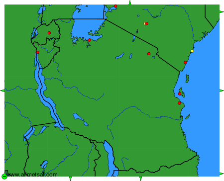
To change the map : click on the green buttons with a black cross to zoom in, on the green button with a dash to zoom out, or on the green arrows for adjacent maps.