METAR-TAF
Airports :
Wilson Airport
Nairobi, Kenya
latitude: 01-19S, longitude: 036-49E, elevation: 1683 m
Current weather observation
The report was made 1 hour and 24 minutes ago, at 18:00 UTC
Calm wind
Temperature 19°C
Humidity 78%
Pressure 1024 hPa
Visibility 10 km or more
Broken clouds at a height of 2000 ft
METAR: HKNW 021800Z 00000KT 9999 BKN020 19/15 Q1024 NOSIG
Time: 22:24 (19:24 UTC)
TAF: missing
Weather observations and forecasts of more than 4000 airports (METAR and TAF reports).
The available stations are represented by yellow and red dots on the map.
Hover mouse over dot to see the name of the station.
Then click to see weather observations and forecasts.
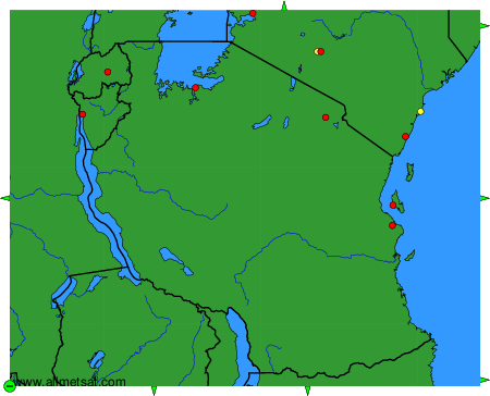
To change the map : click on the green buttons with a black cross to zoom in, on the green button with a dash to zoom out, or on the green arrows for adjacent maps.