METAR-TAF
Airports :
Mwanza Airport
Mwanza, Tanzania
latitude: 02-28S, longitude: 032-55E, elevation: 3736 ft
Current weather observation
The report was made 2 hours and 5 minutes ago, at 20:00 UTC
Wind 3 mph from the East/Southeast
Temperature 68°F
Humidity 83%
Pressure 30.09 in. Hg
Visibility 6.2 miles or more
Few clouds at a height of 1900 ft
Few clouds at a height of 2000 ft, Cumulonimbus.
Few clouds at a height of 2000 ft, Cumulonimbus.
METAR: HTMW 172000Z 11003KT 9999 FEW019 FEW020CB 20/17 Q1019 NOSIG
Time: 01:05 (22:05 UTC)
Forecast
The report was made 5 hours and 5 minutes ago, at 17:00 UTC
Forecast valid from 17 at 18 UTC to 18 at 18 UTC
Wind 12 mph from the East/Southeast
Visibility 6.2 miles or more
Few clouds at a height of 2000 ft
Few clouds at a height of 2100 ft, Cumulonimbus.
Few clouds at a height of 2100 ft, Cumulonimbus.
Becoming
from 18 at 00 UTC to 18 at 02 UTC
from 18 at 00 UTC to 18 at 02 UTC
Few clouds at a height of 2000 ft
Few clouds at a height of 2100 ft, Cumulonimbus.
Broken clouds at a height of 8000 ft
Few clouds at a height of 2100 ft, Cumulonimbus.
Broken clouds at a height of 8000 ft
thunderstorm
Becoming
from 18 at 10 UTC to 18 at 12 UTC
from 18 at 10 UTC to 18 at 12 UTC
Wind 12 mph from the Northwest
Few clouds at a height of 2300 ft
Few clouds at a height of 2400 ft, Cumulonimbus.
Few clouds at a height of 2400 ft, Cumulonimbus.
TAF: HTMW 171700Z 1718/1818 12010KT 9999 FEW020 FEW021CB BECMG 1800/1802 TS FEW020 FEW021CB BKN080 BECMG 1810/1812 32010KT NSW FEW023 FEW024CB
Weather observations and forecasts of more than 4000 airports (METAR and TAF reports).
The available stations are represented by yellow and red dots on the map.
Hover mouse over dot to see the name of the station.
Then click to see weather observations and forecasts.
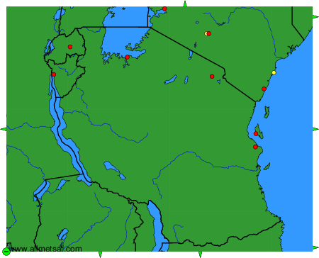
To change the map : click on the green buttons with a black cross to zoom in, on the green button with a dash to zoom out, or on the green arrows for adjacent maps.