METAR-TAF
Airports :
McGhee Tyson Airport
Knoxville, Tennessee, United States
latitude: 35-49-05N, longitude: 083-59-09W, elevation: 981 ft
Current weather observation
The report was made 47 minutes ago, at 03:53 UTC
Wind 6 mph from the South/Southwest
Temperature 73°F
Humidity 83%
Pressure 29.80 in. Hg
Visibility: 10 miles
Few clouds at a height of 6000 ft
Scattered clouds at a height of 20000 ft
Scattered clouds at a height of 20000 ft
METAR: KTYS 030353Z 21005KT 10SM FEW060 SCT200 23/20 A2980 RMK AO2 SLP080 T02330200 $
Time: 00:40 (04:40 UTC)
Forecast
The report was made 5 hours and 20 minutes ago, at 23:20 UTC
Forecast valid from 03 at 00 UTC to 03 at 24 UTC
Wind 5 mph from variable directions
Visibility: 6 miles
Scattered clouds at a height of 4000 ft
Broken clouds at a height of 6000 ft
Broken clouds at a height of 6000 ft
From 03 at 1000 UTC
Wind 3 mph from variable directions
Visibility: 6 miles
Broken clouds at a height of 2000 ft
From 03 at 1600 UTC
Wind 7 mph from the North
Visibility: 6 miles
Broken clouds at a height of 4000 ft
showers in vicinity
TAF: KTYS 022320Z 0300/0324 VRB04KT P6SM SCT040 BKN060 FM031000 VRB03KT P6SM BKN020 FM031600 35006KT P6SM VCSH BKN040
Weather observations and forecasts of more than 4000 airports (METAR and TAF reports).
The available stations are represented by yellow and red dots on the map.
Hover mouse over dot to see the name of the station.
Then click to see weather observations and forecasts.
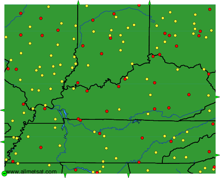
To change the map : click on the green buttons with a black cross to zoom in, on the green button with a dash to zoom out, or on the green arrows for adjacent maps.