METAR-TAF
Airports :
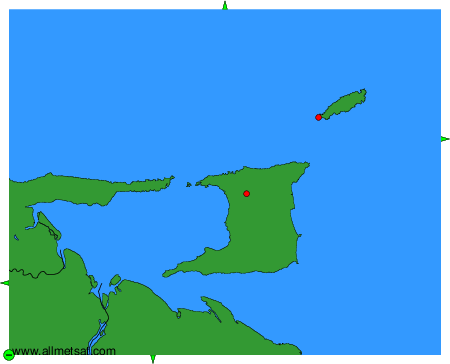
Piarco International Airport
Port of Spain, Trinidad, Trinidad and Tobago
latitude: 10-37N, longitude: 061-21W, elevation: 12 m
Current weather observation
The report was made 29 minutes ago, at 02:00 UTC
Calm wind
Temperature 27°C
Humidity 74%
Pressure 1016 hPa
Visibility: 9000 m
Few clouds at a height of 1600 ft
METAR: TTPP 140200Z 00000KT 9000 FEW016 27/22 Q1016 NOSIG
Time: 22:29 (02:29 UTC)
Forecast
The report was made 4 hours and 29 minutes ago, at 22:00 UTC
Forecast valid from 14 at 00 UTC to 14 at 24 UTC
Wind 4 kt from the East
Visibility 10 km or more
Few clouds at a height of 1600 ft
Becoming
from 14 at 12 UTC to 14 at 14 UTC
from 14 at 12 UTC to 14 at 14 UTC
Wind 13 kt from the East
Scattered clouds at a height of 2300 ft
TAF: TTPP 132200Z 1400/1424 09004KT 9999 FEW016 BECMG 1412/1414 10013KT SCT023
Weather observations and forecasts of more than 4000 airports (METAR and TAF reports).
The available stations are represented by yellow and red dots on the map.
Hover mouse over dot to see the name of the station.
Then click to see weather observations and forecasts.
To change the map : click on the green buttons with a black cross to zoom in, on the green button with a dash to zoom out, or on the green arrows for adjacent maps.