METAR-TAF
Airports :
Ain Arnat Airport
Sétif, Algeria
latitude: 36-11N, longitude: 005-25E, elevation: 1038 m
Current weather observation
The report was made 1 hour and 14 minutes ago, at 05:00 UTC
Wind 5 kt from the North
Temperature 10°C
Humidity 93%
Pressure 1011 hPa
Visibility: 8000 m
Few clouds at a height of 2600 ft
METAR: DAAS 200500Z 01005KT 8000 FEW026 10/09 Q1011
Time: 07:14 (06:14 UTC)
Forecast
The report was made 1 hour and 14 minutes ago, at 05:00 UTC
Forecast valid from 20 at 06 UTC to 21 at 06 UTC
Wind 8 kt from the North
Visibility: 8000 m
Few clouds at a height of 2600 ft
Temporary
from 20 at 06 UTC to 20 at 10 UTC
from 20 at 06 UTC to 20 at 10 UTC
Visibility: 3000 m
Broken clouds at a height of 900 ft
mist
Probability 40% :
Temporary
from 20 at 06 UTC to 20 at 09 UTC
from 20 at 06 UTC to 20 at 09 UTC
Visibility: 0600 m
Overcast at a height of 600 ft
fog
TAF: DAAS 200500Z 2006/2106 01008KT 8000 FEW026 TEMPO 2006/2010 3000 BR BKN009 PROB40 TEMPO 2006/2009 0600 FG OVC006
Weather observations and forecasts of more than 4000 airports (METAR and TAF reports).
The available stations are represented by yellow and red dots on the map.
Hover mouse over dot to see the name of the station.
Then click to see weather observations and forecasts.
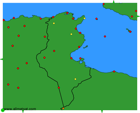
To change the map : click on the green buttons with a black cross to zoom in, on the green button with a dash to zoom out, or on the green arrows for adjacent maps.