METAR-TAF
Airports :
Mohamed Boudiaf International Airport
Constantine, Algeria
latitude: 36-17N, longitude: 006-37E, elevation: 694 m
Current weather observation
The report was made 29 minutes ago, at 12:30 UTC
Wind 6 kt from the East with gusts up to 16 kt
Temperature 34°C
Humidity 18%
Pressure 1022 hPa
Visibility 10 km or more
Few clouds at a height of 3300 ft
METAR: DABC 221230Z 08006G16KT 9999 FEW033 34/06 Q1022
Time: 13:59 (12:59 UTC)
Forecast
The report was made 1 hour and 59 minutes ago, at 11:00 UTC
Forecast valid from 22 at 12 UTC to 23 at 12 UTC
Wind 15 kt from the East/Northeast
Visibility 10 km or more
Few clouds at a height of 2600 ft
Scattered clouds at a height of 10000 ft
Scattered clouds at a height of 10000 ft
Probability 30%
from 22 at 13 UTC to 22 at 20 UTC
from 22 at 13 UTC to 22 at 20 UTC
Few clouds at a height of 2300 ft, Cumulonimbus.
Broken clouds at a height of 3000 ft
Broken clouds at a height of 3000 ft
Becoming
from 22 at 20 UTC to 22 at 22 UTC
from 22 at 20 UTC to 22 at 22 UTC
Wind 8 kt from the North/Northwest
TAF: DABC 221100Z 2212/2312 06015KT 9999 FEW026 SCT100 PROB30 2213/2220 FEW023CB BKN030 BECMG 2220/2222 34008KT
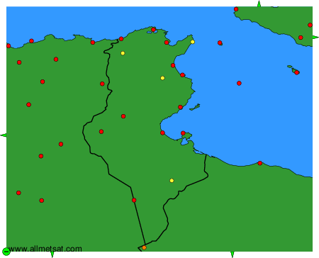
Weather observations and forecasts of more than 4000 airports (METAR and TAF reports).
The available stations are represented by yellow and red dots on the map.
Hover mouse over dot to see the name of the station.
Then click to see weather observations and forecasts.
To change the map : click on the green buttons with a black cross to zoom in, on the green button with a dash to zoom out, or on the green arrows for adjacent maps.