METAR-TAF
Airports :
Biskra Airport
Biskra, Algeria
latitude: 34-48N, longitude: 005-44E, elevation: 87 m
Current weather observation
The report was made 41 minutes ago, at 06:00 UTC
Wind 3 kt from the West/Northwest
Temperature 30°C
Humidity 40%
Pressure 1016 hPa
Visibility: 8000 m
METAR: DAUB 280600Z 30003KT 8000 NSC 30/15 Q1016
Time: 07:41 (06:41 UTC)
Forecast
The report was made 1 hour and 41 minutes ago, at 05:00 UTC
Forecast valid from 28 at 06 UTC to 29 at 06 UTC
Wind 8 kt from the Northwest
TAF: DAUB 280500Z 2806/2906 31008KT CAVOK
Weather observations and forecasts of more than 4000 airports (METAR and TAF reports).
The available stations are represented by yellow and red dots on the map.
Hover mouse over dot to see the name of the station.
Then click to see weather observations and forecasts.
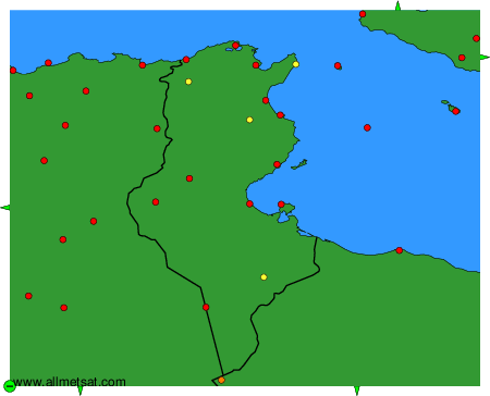
To change the map : click on the green buttons with a black cross to zoom in, on the green button with a dash to zoom out, or on the green arrows for adjacent maps.