METAR-TAF
Airports :
Tabarka–Aïn Draham International Airport
Tabarka, Tunisia
latitude: 36-57N, longitude: 008-45E, elevation: 20 m
Current weather observation
The report was made 56 minutes ago, at 21:00 UTC
Wind 12 kt from the Northwest
Temperature 13°C
Humidity 82%
Pressure 1015 hPa
Visibility 10 km or more
Scattered clouds at a height of 2000 ft
Scattered clouds at a height of 3000 ft
Scattered clouds at a height of 3000 ft
METAR: DTKA 172100Z 31012KT 9999 SCT020 SCT030 13/10 Q1015 NOSIG
Time: 22:56 (21:56 UTC)
Forecast
The report was made 56 minutes ago, at 21:00 UTC
Forecast valid from 17 at 22 UTC to 18 at 07 UTC
Wind 12 kt from the North/Northwest
Visibility 10 km or more
Scattered clouds at a height of 2000 ft
Becoming
from 18 at 01 UTC to 18 at 03 UTC
from 18 at 01 UTC to 18 at 03 UTC
Wind 2 kt from variable directions
TAF: DTKA 172100Z 1722/1807 33012KT 9999 SCT020 BECMG 1801/1803 VRB02KT
Weather observations and forecasts of more than 4000 airports (METAR and TAF reports).
The available stations are represented by yellow and red dots on the map.
Hover mouse over dot to see the name of the station.
Then click to see weather observations and forecasts.
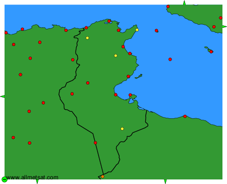
To change the map : click on the green buttons with a black cross to zoom in, on the green button with a dash to zoom out, or on the green arrows for adjacent maps.