METAR-TAF
Airports :
Djerba–Zarzis International Airport
Djerba, Tunisia
latitude: 33-52N, longitude: 010-46E, elevation: 3 m
Current weather observation
The report was made 41 minutes ago, at 10:00 UTC
Wind 8 kt from the East
Temperature 35°C
Humidity 53%
Pressure 1011 hPa
Visibility: 8000 m
Few clouds at a height of 2600 ft
METAR: DTTJ 271000Z 09008KT 8000 FEW026 35/24 Q1011
Time: 11:41 (10:41 UTC)
Forecast
The report was made 5 hours and 41 minutes ago, at 05:00 UTC
Forecast valid from 27 at 06 UTC to 28 at 06 UTC
Wind 15 kt from the North/Northeast
Visibility: 8000 m
Probability 40% :
Temporary
from 27 at 13 UTC to 27 at 24 UTC
from 27 at 13 UTC to 27 at 24 UTC
Wind 25 kt from the North/Northeast with gusts up to 35 kt
Visibility: 3000 m
sand,
TAF: DTTJ 270500Z 2706/2806 02015KT 8000 NSC PROB40 TEMPO 2713/2724 03025G35KT 3000 SA
Weather observations and forecasts of more than 4000 airports (METAR and TAF reports).
The available stations are represented by yellow and red dots on the map.
Hover mouse over dot to see the name of the station.
Then click to see weather observations and forecasts.
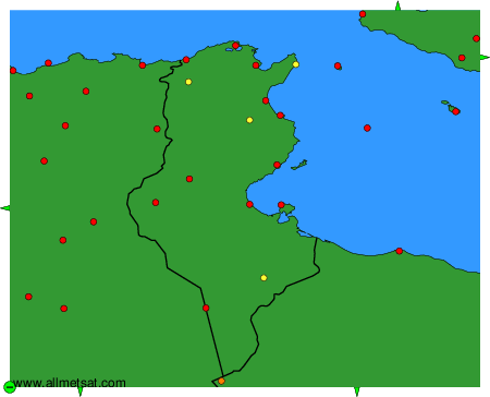
To change the map : click on the green buttons with a black cross to zoom in, on the green button with a dash to zoom out, or on the green arrows for adjacent maps.