METAR-TAF
Airports :
Malta International Airport
Malta, Malta
latitude: 35-51N, longitude: 014-29E, elevation: 91 m
Current weather observation
The report was made 24 minutes ago, at 11:15 UTC
Wind 5 kt from variable directions
Temperature 32°C
Humidity 49%
Pressure 1020 hPa
Visibility 10 km or more
Few clouds at a height of 2000 ft
METAR: LMML 221115Z VRB05KT 9999 FEW020 32/20 Q1020 NOSIG
Time: 13:39 (11:39 UTC)
Forecast
The report was made 39 minutes ago, at 11:00 UTC
Forecast valid from 22 at 12 UTC to 23 at 12 UTC
Wind 8 kt from the West/Northwest
Visibility 10 km or more
Few clouds at a height of 1800 ft
TAF: LMML 221100Z 2212/2312 29008KT 9999 FEW018
Weather observations and forecasts of more than 4000 airports (METAR and TAF reports).
The available stations are represented by yellow and red dots on the map.
Hover mouse over dot to see the name of the station.
Then click to see weather observations and forecasts.
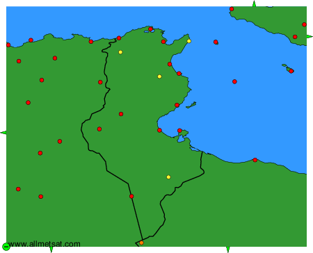
To change the map : click on the green buttons with a black cross to zoom in, on the green button with a dash to zoom out, or on the green arrows for adjacent maps.