METAR-TAF
Airports :
Šiauliai International Airport
Šiauliai, Lithuania
latitude: 55-53-38N, longitude: 023-23-42E, elevation: 135 m
Current weather observation
The report was made 12 minutes ago, at 11:20 UTC
Wind 10 kt from the West/Southwest
Temperature 22°C
Humidity 46%
Pressure 1020 hPa
Visibility 10 km or more
no clouds below 1500 m and no cumulonimbus
METAR: EYSA 021120Z 24010KT CAVOK 22/10 Q1020 NOSIG
Time: 14:32 (11:32 UTC)
Forecast
The report was made 32 minutes ago, at 11:00 UTC
Forecast valid from 02 at 12 UTC to 02 at 21 UTC
Wind 10 kt from the West
Visibility: 9000 m
Scattered clouds at a height of 4500 ft
Probability 40% :
Temporary
from 02 at 12 UTC to 02 at 16 UTC
from 02 at 12 UTC to 02 at 16 UTC
Broken clouds at a height of 4500 ft, Towering cumulus.
Becoming
from 02 at 18 UTC to 02 at 20 UTC
from 02 at 18 UTC to 02 at 20 UTC
Wind 3 kt from variable directions
TAF: EYSA 021100Z 0212/0221 27010KT 9000 SCT045 PROB40 TEMPO 0212/0216 BKN045TCU BECMG 0218/0220 VRB03KT
Weather observations and forecasts of more than 4000 airports (METAR and TAF reports).
The available stations are represented by yellow and red dots on the map.
Hover mouse over dot to see the name of the station.
Then click to see weather observations and forecasts.
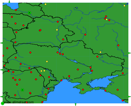
To change the map : click on the green buttons with a black cross to zoom in, on the green button with a dash to zoom out, or on the green arrows for adjacent maps.