METAR-TAF
Airports :
Mihail Kogălniceanu International Airport
Constanţa, Romania
latitude: 44-20N, longitude: 028-26E, elevation: 97 m
Current weather observation
The report was made 28 minutes ago, at 16:00 UTC
Wind 4 kt from the East/Southeast, varying between East and South/Southeast
Temperature 24°C
Humidity 36%
Pressure 1008 hPa
Visibility 10 km or more
no clouds below 1500 m and no cumulonimbus
METAR: LRCK 241600Z 12004KT 090V150 CAVOK 24/08 Q1008 NOSIG
Time: 19:28 (16:28 UTC)
Forecast
The report was made 5 hours and 28 minutes ago, at 11:00 UTC
Forecast valid from 24 at 12 UTC to 25 at 12 UTC
Wind 10 kt from the East
Visibility 10 km or more
Scattered clouds at a height of 3000 ft, Cumulonimbus.
Broken clouds at a height of 4500 ft
Broken clouds at a height of 4500 ft
Probability 30% :
Temporary
from 24 at 12 UTC to 24 at 13 UTC
from 24 at 12 UTC to 24 at 13 UTC
Visibility: 5000 m
rain showers
Becoming
from 24 at 13 UTC to 24 at 15 UTC
from 24 at 13 UTC to 24 at 15 UTC
Wind 4 kt from variable directions
Becoming
from 25 at 00 UTC to 25 at 02 UTC
from 25 at 00 UTC to 25 at 02 UTC
Wind 10 kt from the North/Northwest
Becoming
from 25 at 10 UTC to 25 at 12 UTC
from 25 at 10 UTC to 25 at 12 UTC
Few clouds at a height of 4500 ft, Cumulonimbus.
TAF: LRCK 241100Z 2412/2512 09010KT 9999 SCT030CB BKN045 PROB30 TEMPO 2412/2413 5000 SHRA BECMG 2413/2415 VRB04KT NSC BECMG 2500/2502 34010KT BECMG 2510/2512 FEW045CB
Weather observations and forecasts of more than 4000 airports (METAR and TAF reports).
The available stations are represented by yellow and red dots on the map.
Hover mouse over dot to see the name of the station.
Then click to see weather observations and forecasts.
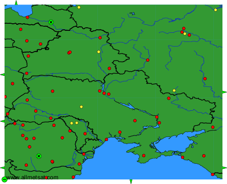
To change the map : click on the green buttons with a black cross to zoom in, on the green button with a dash to zoom out, or on the green arrows for adjacent maps.