METAR-TAF
Airports :
Cluj International Airport
Cluj-Napoca, Romania
latitude: 46-47N, longitude: 023-34E, elevation: 315 m
Current weather observation
The report was made 22 minutes ago, at 20:30 UTC
Calm wind
Temperature 19°C
Humidity 88%
Pressure 1014 hPa
Visibility 10 km or more
Few clouds at a height of 5800 ft
METAR: LRCL 272030Z 00000KT 9999 FEW058 19/17 Q1014
Time: 23:52 (20:52 UTC)
Forecast
The report was made 52 minutes ago, at 20:00 UTC
Forecast valid from 27 at 21 UTC to 28 at 06 UTC
Wind 6 kt from the West
TAF: LRCL 272000Z 2721/2806 28006KT CAVOK
Weather observations and forecasts of more than 4000 airports (METAR and TAF reports).
The available stations are represented by yellow and red dots on the map.
Hover mouse over dot to see the name of the station.
Then click to see weather observations and forecasts.
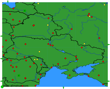
To change the map : click on the green buttons with a black cross to zoom in, on the green button with a dash to zoom out, or on the green arrows for adjacent maps.