METAR-TAF
Airports :
Iași International Airport
Iasi, Romania
latitude: 47-10N, longitude: 027-38E, elevation: 102 m
Current weather observation
The report was made 11 minutes ago, at 01:00 UTC
Wind 5 kt from the West/Southwest
Temperature 14°C
Humidity 88%
Pressure 1010 hPa
Visibility 10 km or more
no clouds below 1500 m and no cumulonimbus
METAR: LRIA 090100Z 25005KT CAVOK 14/12 Q1010
Time: 04:11 (01:11 UTC)
Forecast
The report was made 2 hours and 11 minutes ago, at 23:00 UTC
Forecast valid from 09 at 00 UTC to 09 at 09 UTC
Wind 6 kt from the West/Northwest
TAF: LRIA 082300Z 0900/0909 29006KT CAVOK
Weather observations and forecasts of more than 4000 airports (METAR and TAF reports).
The available stations are represented by yellow and red dots on the map.
Hover mouse over dot to see the name of the station.
Then click to see weather observations and forecasts.
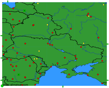
To change the map : click on the green buttons with a black cross to zoom in, on the green button with a dash to zoom out, or on the green arrows for adjacent maps.