METAR-TAF
Airports :
Sibiu International Airport
Sibiu, Romania
latitude: 45-48N, longitude: 024-09E, elevation: 443 m
Current weather observation
The report was made 18 minutes ago, at 16:00 UTC
Wind 2 kt from variable directions
Temperature 17°C
Humidity 82%
Pressure 1016 hPa
Visibility 10 km or more
Few clouds at a height of 3300 ft
Few clouds at a height of 4000 ft, Cumulonimbus.
Broken clouds at a height of 7000 ft
Few clouds at a height of 4000 ft, Cumulonimbus.
Broken clouds at a height of 7000 ft
METAR: LRSB 221600Z VRB02KT 9999 FEW033 FEW040CB BKN070 17/14 Q1016 TEMPO SHRA
Time: 19:18 (16:18 UTC)
Forecast
The report was made 5 hours and 18 minutes ago, at 11:00 UTC
Forecast valid from 22 at 12 UTC to 23 at 12 UTC
Wind 4 kt from variable directions
Visibility 10 km or more
Scattered clouds at a height of 3500 ft
Broken clouds at a height of 6000 ft
Broken clouds at a height of 6000 ft
Temporary
from 22 at 12 UTC to 22 at 18 UTC
from 22 at 12 UTC to 22 at 18 UTC
Visibility: 5000 m
Scattered clouds at a height of 1000 ft
Scattered clouds at a height of 3500 ft, Cumulonimbus.
Overcast at a height of 5000 ft
Scattered clouds at a height of 3500 ft, Cumulonimbus.
Overcast at a height of 5000 ft
rain showers
Probability 30% :
Temporary
from 22 at 23 UTC to 23 at 04 UTC
from 22 at 23 UTC to 23 at 04 UTC
Broken clouds at a height of 1000 ft
TAF: LRSB 221100Z 2212/2312 VRB04KT 9999 SCT035 BKN060 TEMPO 2212/2218 5000 SHRA SCT010 SCT035CB OVC050 PROB30 TEMPO 2223/2304 BKN010
Weather observations and forecasts of more than 4000 airports (METAR and TAF reports).
The available stations are represented by yellow and red dots on the map.
Hover mouse over dot to see the name of the station.
Then click to see weather observations and forecasts.
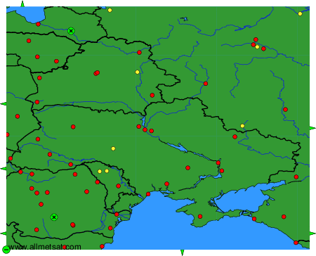
To change the map : click on the green buttons with a black cross to zoom in, on the green button with a dash to zoom out, or on the green arrows for adjacent maps.