METAR-TAF
Airports :
Târgu Mureș International Airport
Târgu Mureş, Romania
latitude: 46-32N, longitude: 024-32E, elevation: 308 m
Current weather observation
The report was made 23 minutes ago, at 19:30 UTC
Wind 5 kt from the West/Southwest
Temperature 20°C
Humidity 88%
Pressure 1019 hPa
Visibility 10 km or more
no clouds below 1500 m and no cumulonimbus
METAR: LRTM 151930Z 25005KT CAVOK 20/18 Q1019
Time: 22:53 (19:53 UTC)
Forecast
The report was made 2 hours and 53 minutes ago, at 17:00 UTC
Forecast valid from 15 at 18 UTC to 16 at 03 UTC
Wind 4 kt from variable directions
TAF: LRTM 151700Z 1518/1603 VRB04KT CAVOK
Weather observations and forecasts of more than 4000 airports (METAR and TAF reports).
The available stations are represented by yellow and red dots on the map.
Hover mouse over dot to see the name of the station.
Then click to see weather observations and forecasts.
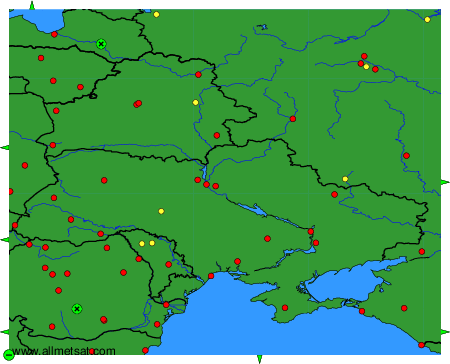
To change the map : click on the green buttons with a black cross to zoom in, on the green button with a dash to zoom out, or on the green arrows for adjacent maps.