The report was made 2 hours and 41 minutes ago, at 19:55 UTC
Forecast valid from 22 at 21 UTC to 23 at 21 UTC
Wind 6 kt from the Northeast with gusts up to 16 kt
Visibility 10 km or more
Scattered clouds at a height of 3000 ft Broken clouds at a height of 10000 ft
Becoming from 23 at 06 UTC to 23 at 07 UTC
Wind 10 kt from the West with gusts up to 19 kt
Scattered clouds at a height of 4000 ft, Cumulonimbus. Broken clouds at a height of 10000 ft
Temporary from 23 at 07 UTC to 23 at 21 UTC
thunderstorm, light rain
Becoming from 23 at 18 UTC to 23 at 19 UTC
Wind 6 kt from the Northeast with gusts up to 16 kt
TAF: URSS 221955Z 2221/2321 05003G08MPS 9999 SCT030 BKN100 BECMG 2306/2307 27005G10MPS SCT040CB BKN100 TEMPO 2307/2321 -TSRA BECMG 2318/2319 05003G08MPS
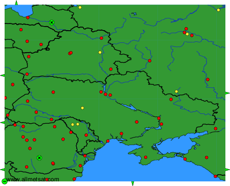
Weather observations and forecasts of more than 4000 airports (METAR and TAF reports).
The available stations are represented by yellow and red dots on the map.
Hover mouse over dot to see the name of the station.
Then click to see weather observations and forecasts.
To change the map : click on the green buttons with a black cross to zoom in, on the green button with a dash to zoom out, or on the green arrows for adjacent maps.