METAR-TAF
Airports :
Moscow-Sheremetyevo
Anapa
Bacau
Baia Mare
Bălţi
Belgorod
Boryspil
Brest
Bryansk
Bucharest
Bucharest Băneasa
Câmpia Turzii
Chernivtsi
Chisinau
Cluj-Napoca
Constanţa
Craiova
Dnipropetrovsk
Florești
Gomel
Grodno
Hostomel
Iasi
Ivano-Frankivsk
Kaunas
Kharkiv
Kiev
Krasnodar
Kryvyi Rih
Lublin
Lviv
Minsk
Minsk-1
Mogilev
Moscow
Moscow-Domodedovo
Moscow-Sheremetyevo
Moscow-Vnukovo
Mykolaiv
Odessa
Pskov
Riga
Rivne
Rostov-on-Don
Rzeszów
Satu Mare
Šiauliai
Sibiu
Simferopol
Sochi
Suceava
Târgu Mureş
Tulcea
Uzhhorod
Varna
Veliko Tarnovo
Vilnius
Vinnytsia
Vitebsk
Voronezh
Yaroslavl
Zaporizhia
Ukraine, Belarus, Moldova
Albania
Armenia
Azerbaijan
Bosnia and Herzegovina
Bulgaria
Croatia
Estonia
Europe
Finland
Georgia
Hungary
Latvia
Lithuania
Macedonia
Montenegro
Norway
Poland
Romania
Russia
Serbia
Slovakia
Sweden
Turkey
Sheremetyevo International Airport Moscow-Sheremetyevo, Russia
latitude: 55-58N, longitude: 037-25E, elevation: 190 m
Current weather observation The report was made 33 minutes ago, at 18:30 UTC
Wind 6 kt from the South/Southeast
Temperature 19 °C
Humidity 88 %
Pressure 1004 hPa
Visibility 10 km or more
no clouds below 1500 m and no cumulonimbus
METAR: UUEE 081830Z 16003MPS CAVOK 19/17 Q1004 R24L/290345 R24C/290345 NOSIG
Time: 22:03 (19:03 UTC) Forecast The report was made 2 hours and 7 minutes ago, at 16:56 UTC
Forecast valid from 08 at 18 UTC to 09 at 18 UTC
Wind 6 kt from the South with gusts up to 16 kt
Visibility: 9000 m
Broken clouds at a height of 1600 ft
Temporary
Wind 19 kt from the West/Southwest with gusts up to 29 kt
Visibility: 2000 m
Broken clouds at a height of 600 ft Broken clouds at a height of 2000 ft, Cumulonimbus.
thunderstorm, rain
Temporary
Wind 21 kt from the West/Southwest with gusts up to 33 kt
Visibility: 1000 m
Broken clouds at a height of 2000 ft, Cumulonimbus.
thunderstorm, rain
TAF: UUEE 081656Z 0818/0918 18003G08MPS 9000 BKN016 TX21/0912Z TN16/0902Z TEMPO 0818/0906 24010G15MPS 2000 TSRA BKN006 BKN020CB TEMPO 0906/0918 24011G17MPS 1000 TSRA BKN020CB
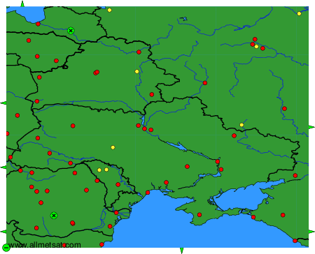
Weather observations and forecasts of more than 4000 airports (METAR and TAF reports).
The available stations are represented by yellow and red dots on the map.
Hover mouse over dot to see the name of the station.
Then click to see weather observations and forecasts.
To change the map : click on the green buttons with a black cross to zoom in, on the green button with a dash to zoom out, or on the green arrows for adjacent maps.