METAR-TAF
Airports :
La Chinita International Airport
Maracaibo, Venezuela
latitude: 10-34N, longitude: 071-44W, elevation: 216 ft
METAR: missing
Time: 05:32 (09:32 UTC)
Forecast
The report was made 5 hours and 32 minutes ago, at 04:00 UTC
Forecast valid from 21 at 06 UTC to 22 at 06 UTC
Wind 9 mph from the South
Visibility 6.2 miles or more
Broken clouds at a height of 1600 ft
Temporary
from 21 at 08 UTC to 21 at 11 UTC
from 21 at 08 UTC to 21 at 11 UTC
Wind 5 mph from the South
Visibility: 29527 ft
Broken clouds at a height of 1600 ft
From 21 at 1200 UTC
Wind 7 mph from the South
Visibility 6.2 miles or more
Scattered clouds at a height of 1600 ft
Broken clouds at a height of 10000 ft
Broken clouds at a height of 10000 ft
TAF: SVMC 210400Z 2106/2206 17008KT 9999 BKN016 TX35/2119Z TN24/2109Z TEMPO 2108/2111 18004KT 9000 BKN016 FM211200 18006KT 9999 SCT016 BKN100
Weather observations and forecasts of more than 4000 airports (METAR and TAF reports).
The available stations are represented by yellow and red dots on the map.
Hover mouse over dot to see the name of the station.
Then click to see weather observations and forecasts.
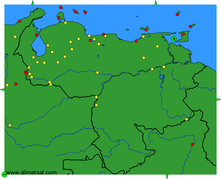
To change the map : click on the green buttons with a black cross to zoom in, on the green button with a dash to zoom out, or on the green arrows for adjacent maps.