METAR-TAF
Airports :
Flamingo International Airport
Bonaire, Netherlands Antilles
latitude: 12-09N, longitude: 068-17W, elevation: 6 m
Current weather observation
The report was made 1 hour and 10 minutes ago, at 03:55 UTC
Wind 10 kt from the East
Temperature 26°C
Humidity 84%
Pressure 1013 hPa
Visibility 10 km or more
METAR: TNCB 290355Z AUTO 08010KT 9999 FEW015/// 26/23 Q1013
Time: 01:05 (05:05 UTC)
Forecast
The report was made 5 hours and 58 minutes ago, at 23:07 UTC
Forecast valid from 29 at 00 UTC to 30 at 06 UTC
Wind 11 kt from the East
Visibility 10 km or more
Scattered clouds at a height of 2200 ft
TAF: TNCB 282307Z 2900/3006 08011KT 9999 SCT022
Weather observations and forecasts of more than 4000 airports (METAR and TAF reports).
The available stations are represented by yellow and red dots on the map.
Hover mouse over dot to see the name of the station.
Then click to see weather observations and forecasts.
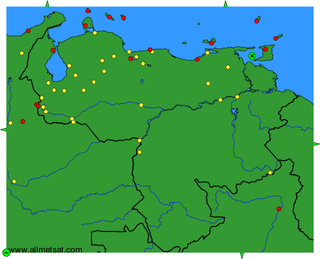
To change the map : click on the green buttons with a black cross to zoom in, on the green button with a dash to zoom out, or on the green arrows for adjacent maps.