METAR-TAF
Airports :
Arthur Napoleon Raymond Robinson International Airport
Scarborough, Tobago, Trinidad and Tobago
latitude: 11-09N, longitude: 060-51W, elevation: 8 m
Current weather observation
The report was made 48 minutes ago, at 07:00 UTC
Wind 5 kt from the East/Northeast
Temperature 27°C
Humidity 79%
Pressure 1012 hPa
Visibility 10 km or more
Few clouds at a height of 1600 ft
METAR: TTCP 280700Z 06005KT 9999 FEW016 27/23 Q1012 NOSIG
Time: 03:48 (07:48 UTC)
Forecast
The report was made 3 hours and 48 minutes ago, at 04:00 UTC
Forecast valid from 28 at 06 UTC to 29 at 06 UTC
Wind 5 kt from the East/Northeast
Visibility 10 km or more
Few clouds at a height of 1600 ft
Becoming
from 28 at 12 UTC to 28 at 14 UTC
from 28 at 12 UTC to 28 at 14 UTC
Wind 15 kt from the East
Visibility: 9000 m
Few clouds at a height of 2000 ft
TAF: TTCP 280400Z 2806/2906 07005KT 9999 FEW016 BECMG 2812/2814 10015KT 9000 FEW020
Weather observations and forecasts of more than 4000 airports (METAR and TAF reports).
The available stations are represented by yellow and red dots on the map.
Hover mouse over dot to see the name of the station.
Then click to see weather observations and forecasts.
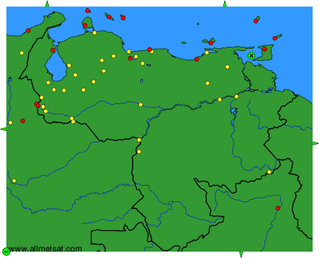
To change the map : click on the green buttons with a black cross to zoom in, on the green button with a dash to zoom out, or on the green arrows for adjacent maps.