The report was made 5 hours and 50 minutes ago, at 23:37 UTC
Forecast valid from 14 at 00 UTC to 14 at 24 UTC
Wind 9 mph from the South/Southwest
Visibility: 6 miles
Broken clouds at a height of 24000 ft
From 14 at 0900 UTC
Wind 5 mph from the West/Southwest
Visibility: 6 miles
Clear sky
From 14 at 1300 UTC
Wind 7 mph from the West
Visibility: 6 miles
Few clouds at a height of 17000 ft
From 14 at 1600 UTC
Wind 8 mph from the Northwest
Visibility: 6 miles
Few clouds at a height of 21000 ft
From 14 at 2100 UTC
Wind 3 mph from variable directions
Visibility: 6 miles
Few clouds at a height of 23000 ft
TAF: KISO 132337Z 1400/1424 20008KT P6SM BKN240 FM140900 24004KT P6SM SKC FM141300 27006KT P6SM FEW170 FM141600 31007KT P6SM FEW210 FM142100 VRB03KT P6SM FEW230 AMD LTD TO CLD VIS AND WIND
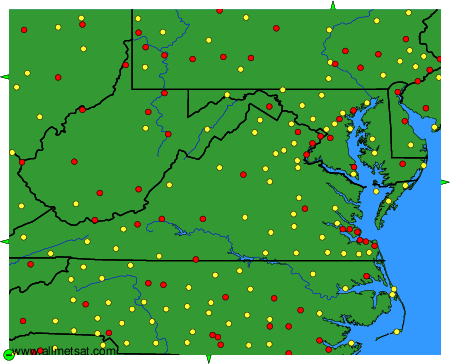
Weather observations and forecasts of more than 4000 airports (METAR and TAF reports).
The available stations are represented by yellow and red dots on the map.
Hover mouse over dot to see the name of the station.
Then click to see weather observations and forecasts.
To change the map : click on the green buttons with a black cross to zoom in, on the green button with a dash to zoom out, or on the green arrows for adjacent maps.