The report was made 1 hour and 52 minutes ago, at 23:32 UTC
Forecast valid from 17 at 00 UTC to 17 at 24 UTC
Wind 17 mph from the South with gusts up to 29 mph
Visibility: 6 miles
Broken clouds at a height of 800 ft
light rain showers
Temporary from 17 at 00 UTC to 17 at 02 UTC
Wind 29 mph from the West/Southwest with gusts up to 52 mph
From 17 at 0200 UTC
Wind 17 mph from the West/Southwest with gusts up to 35 mph
Visibility: 6 miles
Scattered clouds at a height of 800 ft Broken clouds at a height of 2500 ft
From 17 at 0400 UTC
Wind 12 mph from the West with gusts up to 23 mph
Visibility: 6 miles
Scattered clouds at a height of 3000 ft
From 17 at 0800 UTC
Wind 12 mph from the West/Northwest
Visibility: 6 miles
Clear sky
TAF: KOAJ 162332Z 1700/1724 19015G25KT P6SM -SHRA BKN008 WS020/22050KT TEMPO 1700/1702 24025G45KT FM170200 25015G30KT P6SM SCT008 BKN025 FM170400 28010G20KT P6SM SCT030 FM170800 30010KT P6SM SKC AMD LTD TO CLD VIS AND WIND
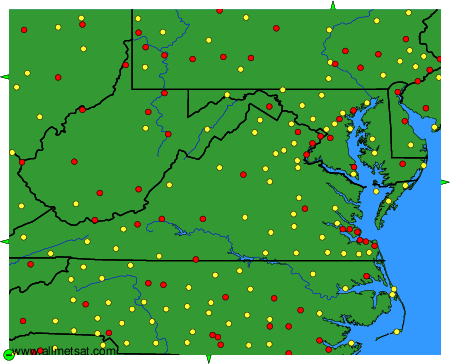
Weather observations and forecasts of more than 4000 airports (METAR and TAF reports).
The available stations are represented by yellow and red dots on the map.
Hover mouse over dot to see the name of the station.
Then click to see weather observations and forecasts.
To change the map : click on the green buttons with a black cross to zoom in, on the green button with a dash to zoom out, or on the green arrows for adjacent maps.