METAR-TAF
Airports :
Sary-Arka Airport
Karaganda, Kazakhstan
latitude: 49-48N, longitude: 073-09E, elevation: 553 m
Current weather observation
METAR: UAKK 120830Z 22011MPS 2200 -SHSN BLSN BKN029CB M09/M11 Q1035 NOSIG RMK QFE728/0971
Time: 14:51 (08:51 UTC)
Forecast
Broken clouds at a height of 2000 ft
from 12 at 06 UTC to 12 at 13 UTC
Broken clouds at a height of 1500 ft, Cumulonimbus.
from 12 at 13 UTC to 12 at 15 UTC
from 12 at 13 UTC to 13 at 01 UTC
Broken clouds at a height of 1500 ft, Cumulonimbus.
from 13 at 01 UTC to 13 at 06 UTC
Broken clouds at a height of 1500 ft, Cumulonimbus.
TAF: UAKK 120502Z 1206/1306 22013MPS 1000 -SN BLSN BKN011 BKN020 TXM05/1305Z TNM10/1206Z TEMPO 1206/1213 18016G21MPS 0300 SHSN BLSN BKN005 BKN015CB BECMG 1213/1215 21008MPS 3100 TEMPO 1213/1301 25013G18MPS 0500 -SHSN BLSN BKN005 BKN015CB TEMPO 1301/1306 25012G17MPS 1000 -SHSN BLSN BKN005 BKN015CB
Weather observations and forecasts of more than 4000 airports (METAR and TAF reports).
The available stations are represented by yellow and red dots on the map.
Hover mouse over dot to see the name of the station.
Then click to see weather observations and forecasts.
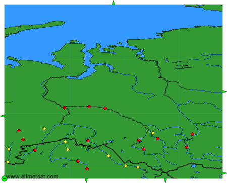
To change the map : click on the green buttons with a black cross to zoom in, on the green button with a dash to zoom out, or on the green arrows for adjacent maps.