Main page
METAR-TAF:

METAR-TAF

Airports :

Kemerovo International Airport

Kemerovo, Russia

latitude: 55-19-48N, longitude: 086-04-48E, elevation: 260 m

Current weather observation

The report was made 23 minutes ago, at 17:30 UTC
Wind 2 kt from the South/Southeast
Temperature -3°C
Humidity 100%
Pressure 1018 hPa
Visibility: 8000 m

METAR: UNEE 311730Z 15001MPS 8000 NSC M03/M03 Q1018 R23/////// NOSIG RMK QFE740

Time: 00:53 (17:53 UTC)

Forecast

The report was made 53 minutes ago, at 17:00 UTC
Forecast valid from 31 at 18 UTC to 01 at 18 UTC
Wind 6 kt from the South with gusts up to 16 kt
Visibility: 6000 m
Broken clouds at a height of 1600 ft, Cumulonimbus.
light snow showers
Temporary
from 31 at 18 UTC to 01 at 01 UTC
Visibility: 0200 m
Broken clouds at a height of 200 ft
Broken clouds at a height of 1600 ft, Cumulonimbus.
light snow showers, freezing fog
Probability 40% :
Temporary
from 31 at 21 UTC to 01 at 06 UTC
(light) freezing, rain
From 01 at 0600 UTC
Wind 10 kt from the South with gusts up to 23 kt
Visibility: 0600 m
Broken clouds at a height of 100 ft
Broken clouds at a height of 1600 ft, Cumulonimbus.
heavy snow showers, rain
Becoming
from 01 at 07 UTC to 01 at 11 UTC
Visibility: 6000 m
Broken clouds at a height of 1600 ft, Cumulonimbus.
light snow showers
Becoming
from 01 at 11 UTC to 01 at 15 UTC
Wind 6 kt from the West/Southwest with gusts up to 17 kt

TAF: UNEE 311700Z 3118/0118 18003G08MPS 6000 -SHSN BKN016CB TX00/0107Z TNM08/0118Z TEMPO 3118/0101 0200 -SHSN FZFG BKN002 BKN016CB PROB40 TEMPO 3121/0106 -FZRA FM010600 18005G12MPS 0600 +SHSNRA BKN001 BKN016CB BECMG 0107/0111 6000 -SHSN BKN016CB BECMG 0111/0115 24003G09MPS

Weather observations and forecasts of more than 4000 airports (METAR and TAF reports).

The available stations are represented by yellow and red dots on the map.

Hover mouse over dot to see the name of the station.

Then click to see weather observations and forecasts.

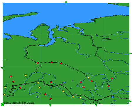
To change the map : click on the green buttons with a black cross to zoom in, on the green button with a dash to zoom out, or on the green arrows for adjacent maps.


METAR-TAF: