METAR-TAF
Airports :
Spichenkovo Airport
Novokuznetsk, Russia
latitude: 53-44N, longitude: 087-11E, elevation: 308 m
Current weather observation
The report was made 22 minutes ago, at 07:30 UTC
Wind 4 kt from the Northwest, varying between West and North/Northeast
Temperature 21°C
Humidity 73%
Pressure 1009 hPa
Visibility 10 km or more
Broken clouds at a height of 3000 ft, Cumulonimbus.
METAR: UNWW 260730Z 32002MPS 280V020 9999 BKN030CB 21/16 Q1009 R19/220253 NOSIG RMK QFE730
Time: 14:52 (07:52 UTC)
Forecast
The report was made 2 hours and 52 minutes ago, at 05:00 UTC
Forecast valid from 26 at 06 UTC to 27 at 06 UTC
Wind 6 kt from the Southwest with gusts up to 16 kt
Visibility: 8000 m
Broken clouds at a height of 2000 ft
Temporary
from 26 at 06 UTC to 26 at 18 UTC
from 26 at 06 UTC to 26 at 18 UTC
Wind 12 kt from the North/Northwest with gusts up to 25 kt
Broken clouds at a height of 500 ft
Broken clouds at a height of 1600 ft, Cumulonimbus.
Broken clouds at a height of 1600 ft, Cumulonimbus.
thunderstorm, light rain
TAF: UNWW 260500Z 2606/2706 22003G08MPS 8000 BKN020 TX23/2610Z TN13/2622Z TEMPO 2606/2618 33006G13MPS -TSRA BKN005 BKN016CB
Weather observations and forecasts of more than 4000 airports (METAR and TAF reports).
The available stations are represented by yellow and red dots on the map.
Hover mouse over dot to see the name of the station.
Then click to see weather observations and forecasts.
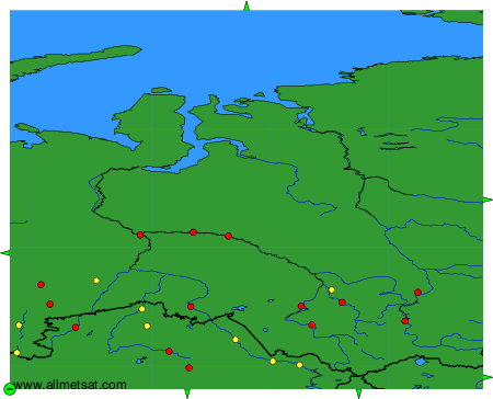
To change the map : click on the green buttons with a black cross to zoom in, on the green button with a dash to zoom out, or on the green arrows for adjacent maps.