METAR-TAF
Airports :
Chicago Rockford International Airport
Rockford, Illinois, United States
latitude: 42-11-34N, longitude: 089-05-36W, elevation: 735 ft
Current weather observation
The report was made 10 minutes ago, at 14:54 UTC
Wind 14 mph from the West/Northwest
Temperature 79°F
Humidity 65%
Pressure 29.74 in. Hg
Visibility: 10 miles
Few clouds at a height of 3000 ft
METAR: KRFD 211454Z 29012KT 10SM FEW030 26/19 A2974 RMK AO2 SLP066 T02610194 51011
Time: 10:04 (15:04 UTC)
Forecast
The report was made 3 hours and 44 minutes ago, at 11:20 UTC
Forecast valid from 21 at 12 UTC to 22 at 12 UTC
Wind 13 mph from the West with gusts up to 22 mph
Visibility: 6 miles
Scattered clouds at a height of 6000 ft
Scattered clouds at a height of 25000 ft
Scattered clouds at a height of 25000 ft
From 21 at 1400 UTC
Wind 17 mph from the Northwest with gusts up to 26 mph
Visibility: 6 miles
Broken clouds at a height of 5000 ft
From 22 at 0200 UTC
Wind 14 mph from the North with gusts up to 22 mph
Visibility: 6 miles
Few clouds at a height of 2500 ft
Scattered clouds at a height of 15000 ft
Scattered clouds at a height of 15000 ft
TAF: KRFD 211120Z 2112/2212 27011G19KT P6SM SCT060 SCT250 FM211400 32015G23KT P6SM BKN050 FM220200 36012G19KT P6SM FEW025 SCT150
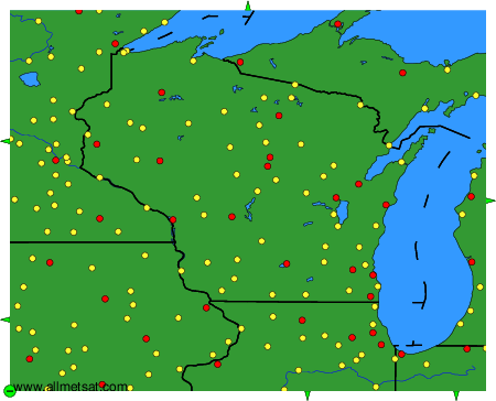
Weather observations and forecasts of more than 4000 airports (METAR and TAF reports).
The available stations are represented by yellow and red dots on the map.
Hover mouse over dot to see the name of the station.
Then click to see weather observations and forecasts.
To change the map : click on the green buttons with a black cross to zoom in, on the green button with a dash to zoom out, or on the green arrows for adjacent maps.