METAR-TAF
Airports :
Abha Regional Airport
Abha, Saudi Arabia
latitude: 18-14N, longitude: 042-39E, elevation: 2090 m
Current weather observation
The report was made 52 minutes ago, at 23:00 UTC
Calm wind
Temperature 19°C
Humidity 68%
Pressure 1022 hPa
Visibility 10 km or more
no clouds below 1500 m and no cumulonimbus
METAR: OEAB 212300Z 00000KT CAVOK 19/13 Q1022 NOSIG
Time: 02:52 (23:52 UTC)
Forecast
The report was made 52 minutes ago, at 23:00 UTC
Forecast valid from 22 at 00 UTC to 23 at 06 UTC
Wind 3 kt from variable directions
Visibility 10 km or more
no clouds below 1500 m and no cumulonimbus
Becoming
from 22 at 08 UTC to 22 at 10 UTC
from 22 at 08 UTC to 22 at 10 UTC
Wind 15 kt from the South/Southwest
Scattered clouds at a height of 2000 ft
Temporary
from 22 at 08 UTC to 22 at 18 UTC
from 22 at 08 UTC to 22 at 18 UTC
Broken clouds at a height of 2000 ft
Few clouds at a height of 2500 ft, Cumulonimbus.
Few clouds at a height of 2500 ft, Cumulonimbus.
thunderstorm, rain
Becoming
from 22 at 18 UTC to 22 at 20 UTC
from 22 at 18 UTC to 22 at 20 UTC
Wind 3 kt from variable directions
TAF: OEAB 212300Z 2200/2306 VRB03KT CAVOK BECMG 2208/2210 20015KT SCT020 TEMPO 2208/2218 TSRA BKN020 FEW025CB BECMG 2218/2220 VRB03KT
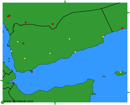
Weather observations and forecasts of more than 4000 airports (METAR and TAF reports).
The available stations are represented by yellow and red dots on the map.
Hover mouse over dot to see the name of the station.
Then click to see weather observations and forecasts.
To change the map : click on the green buttons with a black cross to zoom in, on the green button with a dash to zoom out, or on the green arrows for adjacent maps.