METAR-TAF
Airports :
Kasane Airport
Kasane, Botswana
latitude: 17-49S, longitude: 025-09E, elevation: 3175 ft
Current weather observation
The report was made 1 hour and 8 minutes ago, at 17:00 UTC
Wind 5 mph from the East/Southeast
Temperature 73°F
Humidity 69%
Pressure 30.09 in. Hg
Visibility 6.2 miles or more
Scattered clouds at a height of 2500 ft
Few clouds at a height of 3000 ft, Cumulonimbus.
Few clouds at a height of 3000 ft, Cumulonimbus.
METAR: FBKE 111700Z 12004KT 9999 SCT025 FEW030CB 23/17 Q1019
Time: 20:08 (18:08 UTC)
Forecast
The report was made 6 hours and 8 minutes ago, at 12:00 UTC
Forecast valid from 11 at 15 UTC to 11 at 24 UTC
Wind 9 mph from the East/Southeast
Visibility 6.2 miles or more
Scattered clouds at a height of 2500 ft
TAF: FBKE 111200Z 1115/1124 11008KT 9999 SCT025
Weather observations and forecasts of more than 4000 airports (METAR and TAF reports).
The available stations are represented by yellow and red dots on the map.
Hover mouse over dot to see the name of the station.
Then click to see weather observations and forecasts.
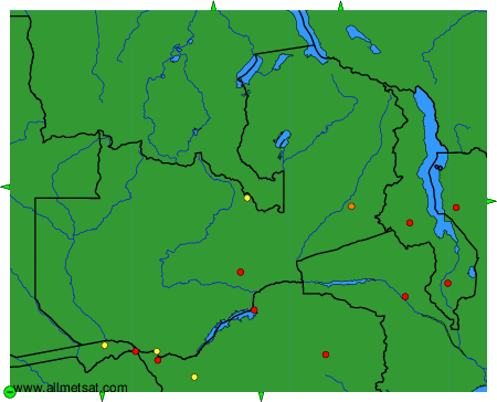
To change the map : click on the green buttons with a black cross to zoom in, on the green button with a dash to zoom out, or on the green arrows for adjacent maps.