METAR-TAF
Airports :
Kenneth Kaunda International Airport
Lusaka, Zambia
latitude: 15-19-51S, longitude: 028-27-09E, elevation: 1152 m
Current weather observation
The report was made 19 minutes ago, at 02:00 UTC
Wind 2 kt from variable directions
Temperature 9°C
Humidity 76%
Pressure 1024 hPa
Visibility 10 km or more
no clouds below 1500 m and no cumulonimbus
METAR: FLKK 020200Z VRB02KT CAVOK 09/05 Q1024
Time: 04:19 (02:19 UTC)
Forecast
The report was made 4 hours and 19 minutes ago, at 22:00 UTC
Forecast valid from 02 at 00 UTC to 03 at 06 UTC
Wind 6 kt from the East
Visibility 10 km or more
no clouds below 1500 m and no cumulonimbus
Becoming
from 02 at 14 UTC to 02 at 16 UTC
from 02 at 14 UTC to 02 at 16 UTC
Wind 10 kt from the East
TAF: FLKK 012200Z 0200/0306 10006KT CAVOK BECMG 0214/0216 09010KT
Weather observations and forecasts of more than 4000 airports (METAR and TAF reports).
The available stations are represented by yellow and red dots on the map.
Hover mouse over dot to see the name of the station.
Then click to see weather observations and forecasts.
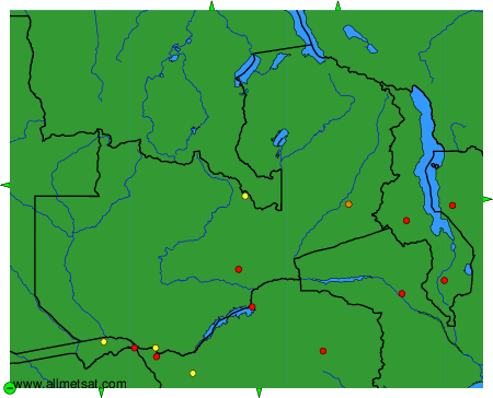
To change the map : click on the green buttons with a black cross to zoom in, on the green button with a dash to zoom out, or on the green arrows for adjacent maps.