METAR-TAF
Airports :
Lichinga Airport
Lichinga, Mozambique
latitude: 13-18S, longitude: 035-14E, elevation: 1364 m
Current weather observation
The report was made 6 minutes ago, at 11:00 UTC
Wind 13 kt from the East
Temperature 21°C
Humidity 49%
Pressure 1026 hPa
Visibility 10 km or more
Broken clouds at a height of 1500 ft
METAR: FQLC 211100Z 10013KT 9999 BKN015 21/10 Q1026
Time: 13:06 (11:06 UTC)
Forecast
The report was made 7 hours and 6 minutes ago, at 04:00 UTC
Forecast valid from 21 at 06 UTC to 22 at 06 UTC
Wind 2 kt from variable directions
Visibility 10 km or more
no clouds below 1500 m and no cumulonimbus
TAF: FQLC 210400Z 2106/2206 VRB02KT CAVOK TX19/2113Z TN10/2203Z
Weather observations and forecasts of more than 4000 airports (METAR and TAF reports).
The available stations are represented by yellow and red dots on the map.
Hover mouse over dot to see the name of the station.
Then click to see weather observations and forecasts.
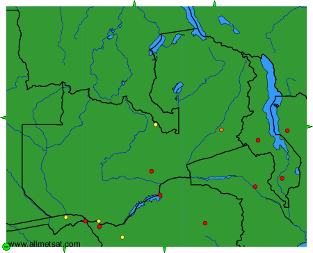
To change the map : click on the green buttons with a black cross to zoom in, on the green button with a dash to zoom out, or on the green arrows for adjacent maps.