METAR-TAF
Airports :
Chingozi Airport
Tete, Mozambique
latitude: 16-06S, longitude: 033-38E, elevation: 160 m
Current weather observation
The report was made 1 hour and 14 minutes ago, at 16:00 UTC
Wind 3 kt from the East
Temperature 22°C
Humidity 53%
Pressure 1019 hPa
Visibility 10 km or more
Few clouds at a height of 2000 ft
METAR: FQTT 271600Z 08003KT 9999 FEW020 22/12 Q1019
Time: 19:14 (17:14 UTC)
Forecast
The report was made 1 hour and 14 minutes ago, at 16:00 UTC
Forecast valid from 27 at 18 UTC to 28 at 18 UTC
Wind 8 kt from the East/Northeast
Visibility 10 km or more
Few clouds at a height of 2000 ft
Becoming
from 28 at 00 UTC to 28 at 02 UTC
from 28 at 00 UTC to 28 at 02 UTC
Wind 3 kt from variable directions
Becoming
from 28 at 05 UTC to 28 at 07 UTC
from 28 at 05 UTC to 28 at 07 UTC
Wind 7 kt from the South/Southeast
TAF: FQTT 271600Z 2718/2818 06008KT 9999 FEW020 TX29/2813Z TN18/2803Z BECMG 2800/2802 VRB03KT BECMG 2805/2807 15007KT
Weather observations and forecasts of more than 4000 airports (METAR and TAF reports).
The available stations are represented by yellow and red dots on the map.
Hover mouse over dot to see the name of the station.
Then click to see weather observations and forecasts.
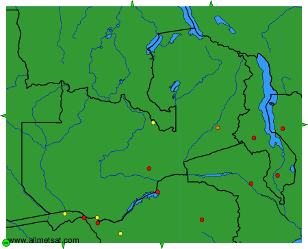
To change the map : click on the green buttons with a black cross to zoom in, on the green button with a dash to zoom out, or on the green arrows for adjacent maps.