METAR-TAF
Airports :
Lilongwe International Airport
Lilongwe, Malawi
latitude: 13-47S, longitude: 033-46E, elevation: 4031 ft
Current weather observation
The report was made 18 minutes ago, at 11:00 UTC
Wind 8 mph from the South/Southeast
Temperature 75°F
Humidity 31%
Pressure 30.15 in. Hg
Visibility 6.2 miles or more
Few clouds at a height of 2800 ft
METAR: FWKI 281100Z 15007KT 9999 FEW028 24/06 Q1021 NOSIG
Time: 13:18 (11:18 UTC)
Forecast
The report was made 1 hour and 8 minutes ago, at 10:10 UTC
Forecast valid from 28 at 12 UTC to 29 at 18 UTC
Wind 8 mph from the South/Southeast
Visibility 6.2 miles or more
Few clouds at a height of 2600 ft
From 28 at 1400 UTC
Wind 9 mph from the East
TAF: FWKI 281010Z 2812/2918 16007KT 9999 FEW026 FM281400 09008KT CAVOK
Weather observations and forecasts of more than 4000 airports (METAR and TAF reports).
The available stations are represented by yellow and red dots on the map.
Hover mouse over dot to see the name of the station.
Then click to see weather observations and forecasts.
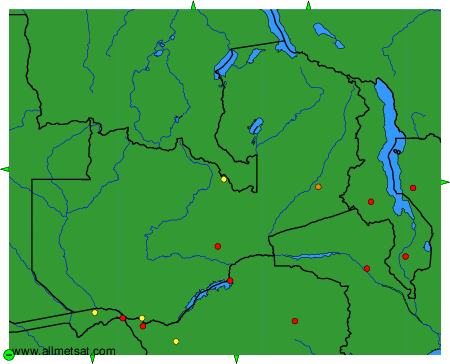
To change the map : click on the green buttons with a black cross to zoom in, on the green button with a dash to zoom out, or on the green arrows for adjacent maps.