METAR-TAF
Airports :
Katima Mulilo Airport
Katima Mulilo, Namibia
latitude: 17-38-04S, longitude: 024-10-36E, elevation: 985 m
Current weather observation
The report was made 48 minutes ago, at 10:00 UTC
Wind 9 kt from the Northeast
Temperature 24°C
Humidity 41%
Pressure 1021 hPa
Visibility 10 km or more
no clouds below 1500 m and no cumulonimbus
METAR: FYKM 221000Z 05009KT CAVOK 24/10 Q1021
Time: 12:48 (10:48 UTC)
Forecast
The report was made 2 hours and 48 minutes ago, at 08:00 UTC
Forecast valid from 22 at 09 UTC to 22 at 18 UTC
Wind 7 kt from the East
Visibility 10 km or more
Scattered clouds at a height of 3000 ft
TAF: FYKM 220800Z 2209/2218 08007KT 9999 SCT030
Weather observations and forecasts of more than 4000 airports (METAR and TAF reports).
The available stations are represented by yellow and red dots on the map.
Hover mouse over dot to see the name of the station.
Then click to see weather observations and forecasts.
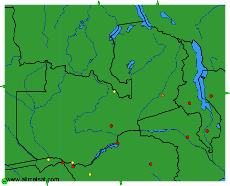
To change the map : click on the green buttons with a black cross to zoom in, on the green button with a dash to zoom out, or on the green arrows for adjacent maps.