METAR-TAF
Airports :
Chingozi Airport
Tete, Mozambique
latitude: 16-06S, longitude: 033-38E, elevation: 160 m
Current weather observation
The report was made 22 minutes ago, at 19:00 UTC
Wind 6 kt from the Southeast
Temperature 25°C
Humidity 34%
Pressure 1018 hPa
Visibility 10 km or more
no clouds below 1500 m and no cumulonimbus
METAR: FQTT 211900Z 13006KT CAVOK 25/08 Q1018
Time: 21:22 (19:22 UTC)
Forecast
The report was made 3 hours and 22 minutes ago, at 16:00 UTC
Forecast valid from 21 at 18 UTC to 22 at 18 UTC
Wind 13 kt from the South/Southeast
Visibility 10 km or more
Few clouds at a height of 2000 ft
TAF: FQTT 211600Z 2118/2218 15013KT 9999 FEW020 TX31/2213Z TN14/2203Z
Weather observations and forecasts of more than 4000 airports (METAR and TAF reports).
The available stations are represented by yellow and red dots on the map.
Hover mouse over dot to see the name of the station.
Then click to see weather observations and forecasts.
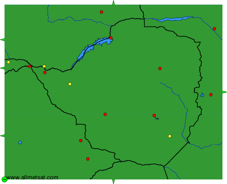
To change the map : click on the green buttons with a black cross to zoom in, on the green button with a dash to zoom out, or on the green arrows for adjacent maps.