METAR-TAF
Airports :
Hwange National Park Airport
Hwange National Park, Zimbabwe
latitude: 18-38S, longitude: 027-00E, elevation: 1079 m
Current weather observation
The report was made 3 hours and 7 minutes ago, at 06:00 UTC
Wind 7 kt from the East
Temperature 16°C
Humidity 82%
Pressure 1024 hPa
Visibility 10 km or more
no clouds below 1500 m and no cumulonimbus
METAR: FVWN 200600Z 09007KT CAVOK 16/13 Q1024 NOSIG
Time: 11:07 (09:07 UTC)
TAF: missing
Weather observations and forecasts of more than 4000 airports (METAR and TAF reports).
The available stations are represented by yellow and red dots on the map.
Hover mouse over dot to see the name of the station.
Then click to see weather observations and forecasts.
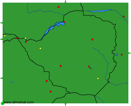
To change the map : click on the green buttons with a black cross to zoom in, on the green button with a dash to zoom out, or on the green arrows for adjacent maps.