METAR-TAF
Airports :
Palanga International Airport
Palanga, Lithuania
latitude: 55-55-12N, longitude: 021-03E, elevation: 10 m
Current weather observation
METAR: EYPA 311320Z VRB04KT CAVOK 22/18 Q1013
Time: 16:34 (13:34 UTC)
Forecast
from 31 at 12 UTC to 31 at 15 UTC
Scattered clouds at a height of 3000 ft, Cumulonimbus.
from 31 at 15 UTC to 31 at 18 UTC
from 31 at 18 UTC to 31 at 20 UTC
from 31 at 20 UTC to 01 at 06 UTC
from 01 at 06 UTC to 01 at 07 UTC
from 01 at 09 UTC to 01 at 12 UTC
TAF: EYPA 311100Z 3112/0112 VRB03KT 8000 NSC TEMPO 3112/3115 29010KT FEW005 SCT030CB TEMPO 3115/3118 SCT005 BECMG 3118/3120 5000 BR SCT005 TEMPO 3120/0106 0500 FG VV002 BECMG 0106/0107 8000 NSW NSC TEMPO 0109/0112 5000 SHRA BKN045CB
Weather observations and forecasts of more than 4000 airports (METAR and TAF reports).
The available stations are represented by yellow and red dots on the map.
Hover mouse over dot to see the name of the station.
Then click to see weather observations and forecasts.
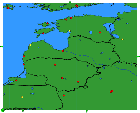
To change the map : click on the green buttons with a black cross to zoom in, on the green button with a dash to zoom out, or on the green arrows for adjacent maps.