Main page
METAR-TAF:

METAR-TAF

Airports :

Silvio Pettirossi International Airport

Asunción, Paraguay

latitude: 25-16S, longitude: 057-38W, elevation: 101 m

Current weather observation

The report was made 37 minutes ago, at 20:00 UTC
Wind 7 kt from the North, varying between Northwest and North
Temperature 31°C
Humidity 66%
Pressure 1007 hPa
Visibility 10 km or more
Scattered clouds at a height of 1700 ft
Scattered clouds at a height of 7000 ft

METAR: SGAS 302000Z 35007KT 310V010 9999 SCT017 SCT070 31/24 Q1007

Time: 17:37 (20:37 UTC)

Forecast

The report was made 3 hours and 17 minutes ago, at 17:20 UTC
Forecast valid from 30 at 18 UTC to 31 at 18 UTC
Wind 6 kt from variable directions
Visibility: 8000 m
Broken clouds at a height of 1500 ft
Few clouds at a height of 4000 ft, Towering cumulus.
light rain
Temporary
from 30 at 20 UTC to 30 at 23 UTC
Visibility: 7000 m
Broken clouds at a height of 1500 ft
Few clouds at a height of 4000 ft, Cumulonimbus.
thunderstorm, light rain
Becoming
from 31 at 00 UTC to 31 at 03 UTC
Wind 6 kt from the East
Visibility: 7000 m
Broken clouds at a height of 2000 ft
rain
Probability 30%
from 31 at 06 UTC to 31 at 10 UTC
Visibility 10 km or more
Broken clouds at a height of 2000 ft
Few clouds at a height of 4000 ft, Cumulonimbus.
thunderstorm
Temporary
from 31 at 12 UTC to 31 at 17 UTC
Visibility: 8000 m
Broken clouds at a height of 2000 ft
light rain

TAF: SGAS 301720Z 3018/3118 VRB06KT 8000 -RA BKN015 FEW040TCU TX32/3018Z TN24/3110Z TEMPO 3020/3023 7000 -TSRA BKN015 FEW040CB BECMG 3100/3103 09006KT 7000 RA BKN020 PROB30 3106/3110 9999 TS BKN020 FEW040CB TEMPO 3112/3117 8000 -RA BKN020

Weather observations and forecasts of more than 4000 airports (METAR and TAF reports).

The available stations are represented by yellow and red dots on the map.

Hover mouse over dot to see the name of the station.

Then click to see weather observations and forecasts.

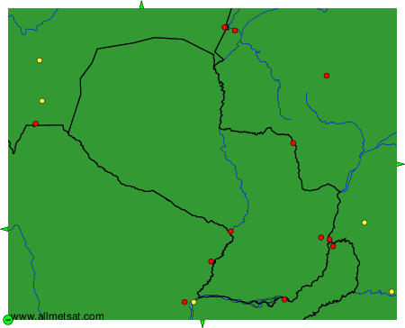
To change the map : click on the green buttons with a black cross to zoom in, on the green button with a dash to zoom out, or on the green arrows for adjacent maps.


METAR-TAF: