Climate normals
Climate :
Perth
Adelaide
Albany
Alice Springs
Bourke
Brisbane
Broome
Cairns
Canberra
Carnarvon
Ceduna
Charleville
Cloncurry
Cobar
Coffs Harbour
Darwin
Dubbo
Esperance
Exmouth
Forrest
Gabo Island
Geraldton
Giles
Halls Creek
Hobart
Hobart
Ipswich
Kalgoorlie
Launceston
Laverton
Longreach
Low Head
Mackay
Meekatharra
Melbourne
Melbourne
Mildura
Mount Gambier
Mount Isa
Newcastle
Nowra
Nuriootpa
Onslow
Perth
Port Hedland
Richmond
Rockhampton
Sale
Sydney
Sydney
Tennant Creek
Thursday Island
Tibooburra
Townsville
Wagga Wagga
Willis Island
Woomera
Australia
Antarctica
Australia, Oceania
Bali
Central Pacific
Indian Ocean islands
Indonesia
Java
Melanesia
Micronesia
New Caledonia
New South Wales
New Zealand
Northern Territory
Queensland
South Australia
Tasmania
Victoria
Western Australia, North
Western Australia, South
Climate : Perth, Australia Perth Airport
latitude: 31-56S, longitude: 115-57E, elevation: 20 m
Monthly average of the minimum and maximum daily temperatures.°C/°F
Precipitation is any kind of water that falls from the sky as part of the weather. This includes drizzle, rain, hail, sleet, or snow.mm/inch
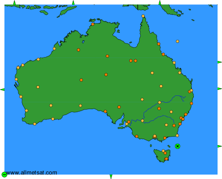
Climatic data of more than 3000 weather stations.
The available stations are represented by yellow and red dots on the map.
Hover mouse over dot to see the name of the station.
Then click to see the data.
To change the map : click on the green buttons with a black cross to zoom in, on the green button with a dash to zoom out, or on the green arrows for adjacent maps.