Climate normals
Climate :
Iquitos
Acarigua
Arauca
Barquisimeto
Barrancabermeja
Barranquilla
Bluefields
Bogotá
Bucaramanga
Cali
Canar
Caracas
Cartagena
Chinandega
Choluteca
Coro
Cúcuta
Curaçao
Gaviotas
Guanare
Guasdualito
Guayaquil
Ibagué
Ipiales
Iquitos
Izobamba-Santa Cata.
Juigalpa
La Carlota
La Concordia
Leticia
Limón
Loja
Maracaibo
Maracay
Mene Grande
Mérida
Milagro
Neiva
Nuevo Rocafuerte
Otavalo
Pasto
Pereira
Pichilingue
Porto Viejo-Granja
Puerto Ayacucho
Puerto Cabezas
Puerto Carreño
Puntarenas
Puyo
Quibdó
Quito
Rivas
Rumipamba
San Andrés
San Antonio del Táchira
San Fernando de Apure
San Gabriel
San José
Santa Marta
Tegucigalpa
Villavicencio
Colombia
Belize
Brazil
Costa Rica
Cuba
Dominican Republic
Ecuador
El Salvador
Galápagos
Guatemala
Haiti
Honduras
Jamaica
Lesser Antilles
Nicaragua
Panama
Peru
Puerto Rico
South America
Venezuela
Climate : Iquitos, Peru Coronel FAP Francisco Secada Vignetta International Airport
latitude: 03-45S, longitude: 073-15W, elevation: 125 m
Monthly average of the minimum and maximum daily temperatures.°C/°F
Precipitation is any kind of water that falls from the sky as part of the weather. This includes drizzle, rain, hail, sleet, or snow.mm/inch
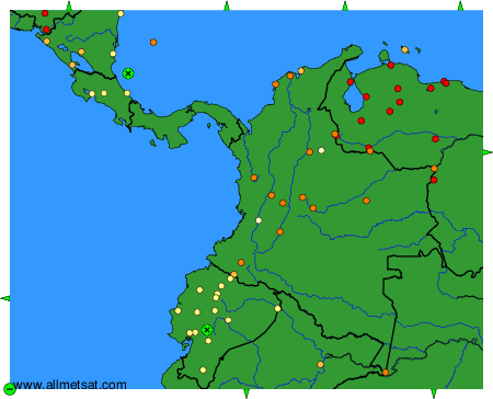
Climatic data of more than 3000 weather stations.
The available stations are represented by yellow and red dots on the map.
Hover mouse over dot to see the name of the station.
Then click to see the data.
To change the map : click on the green buttons with a black cross to zoom in, on the green button with a dash to zoom out, or on the green arrows for adjacent maps.