Interpretation of weather satellite images
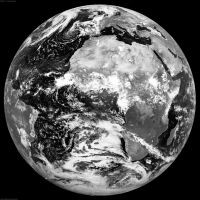
visible
Visible images represent the amount of sunlight being reflected back into space by the clouds or by the Earth surface. Cloud free land and water will typically be dark while clouds and snow appear bright. Thicker clouds have a higher reflectivity and appear brighter than thinner clouds. However, it is difficult to distinguish among low and high level clouds in a visible satellite image. For this distinction, infrared satellite images are useful. Visible images can not be used when no solar light is available.

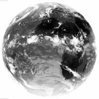
infrared
Infrared images represent the infrared radiation emitted by the clouds or by the earth surface. They are actually measurements of temperature. For an infrared picture, warmer objects appear darker than colder objects. Cloud free areas will typically be dark, but also very low clouds and fog may appear dark. Most other clouds are bright. High level clouds are brighter than lower level clouds.

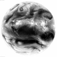
water vapour
Water vapour images represent the amount of water vapour in the mid and upper atmosphere. Water vapour images are useful for pointing out regions of moist and dry air, white regions on the imagery representing more moisture than dark regions.
