METAR-TAF
Airports :
João Paulo II Airport
Ponta Delgada, Azores, Portugal
latitude: 37-44N, longitude: 025-42W, elevation: 71 m
Current weather observation
Broken clouds at a height of 3000 ft
METAR: LPPD 221100Z 36011KT 330V030 9999 FEW018 BKN030 20/16 Q1026
Time: 11:38 (11:38 UTC)
Forecast
Broken clouds at a height of 3000 ft
from 22 at 12 UTC to 22 at 14 UTC
from 22 at 20 UTC to 22 at 22 UTC
from 23 at 00 UTC to 23 at 02 UTC
from 23 at 00 UTC to 23 at 12 UTC
Broken clouds at a height of 1200 ft
from 23 at 07 UTC to 23 at 09 UTC
TAF: LPPD 221100Z 2212/2312 35012KT 9999 FEW015 BKN030 BECMG 2212/2214 02012KT BECMG 2220/2222 35008KT BECMG 2300/2302 VRB05KT PROB40 TEMPO 2300/2312 5000 DZRA BR SCT006 BKN012 BECMG 2307/2309 34010KT
Weather observations and forecasts of more than 4000 airports (METAR and TAF reports).
The available stations are represented by yellow and red dots on the map.
Hover mouse over dot to see the name of the station.
Then click to see weather observations and forecasts.
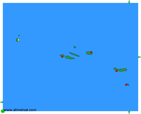
To change the map : click on the green buttons with a black cross to zoom in, on the green button with a dash to zoom out, or on the green arrows for adjacent maps.